
Herzogsdorf topographic map
Interactive map
Click on the map to display elevation.
About this map
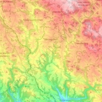
Name: Herzogsdorf topographic map, elevation, terrain.
Location: Herzogsdorf, Urfahr-Umgebung, Upper Austria, 4175, Austria (48.38043 14.05047 48.45732 14.20859)
Average elevation: 536 m
Minimum elevation: 272 m
Maximum elevation: 780 m