
Lochiel topographic map
Interactive map
Click on the map to display elevation.
About this map
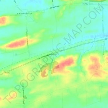
Name: Lochiel topographic map, elevation, terrain.
Location: Lochiel, Union County, Pennsylvania, USA (40.92842 -76.97441 40.96842 -76.93441)
Average elevation: 169 m
Minimum elevation: 144 m
Maximum elevation: 209 m