
Wellington Park topographic map
Interactive map
Click on the map to display elevation.
About this map
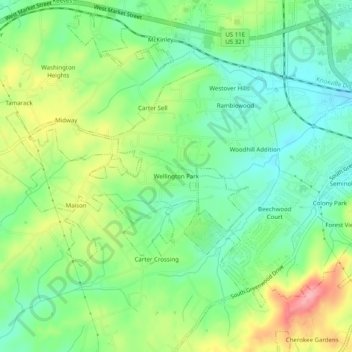
Name: Wellington Park topographic map, elevation, terrain.
Location: Wellington Park, Washington County, Tennessee, 37604, USA (36.27372 -82.42820 36.31372 -82.38820)
Average elevation: 547 m
Minimum elevation: 505 m
Maximum elevation: 620 m