
Broulee Island Nature Reserve topographic map
Interactive map
Click on the map to display elevation.
About this map
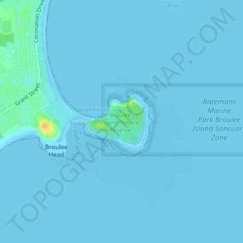
Name: Broulee Island Nature Reserve topographic map, elevation, terrain.
Average elevation: 1 m
Minimum elevation: -1 m
Maximum elevation: 28 m
Other topographic maps
Click on a map to view its topography, its elevation and its terrain.
Broulee
Australia > New South Wales > Broulee
Broulee, Eurobodalla Shire Council, New South Wales, Australia
Average elevation: 7 m
Shark Bay
Australia > New South Wales > Broulee
Shark Bay, Albert Street, Broulee, Eurobodalla Shire Council, New South Wales, 2537, Australia
Average elevation: 2 m