
Cronin topographic map
Interactive map
Click on the map to display elevation.
About this map
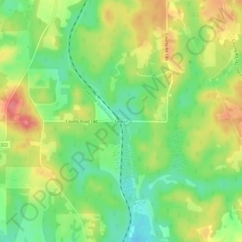
Name: Cronin topographic map, elevation, terrain.
Location: Cronin, Anderson County, Texas, 75739, USA (31.65628 -95.63662 31.69628 -95.59662)
Average elevation: 114 m
Minimum elevation: 79 m
Maximum elevation: 156 m