
Kings Forest topographic map
Interactive map
Click on the map to display elevation.
About this map
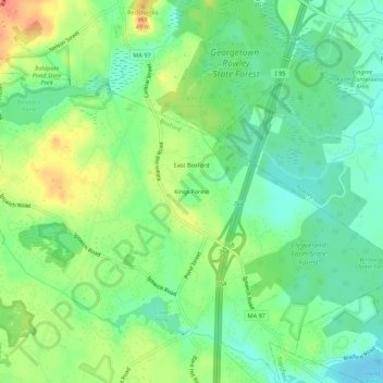
Name: Kings Forest topographic map, elevation, terrain.
Location: Kings Forest, Essex County, Massachusetts, 01833, USA (42.66898 -71.00005 42.70898 -70.96005)
Average elevation: 34 m
Minimum elevation: 14 m
Maximum elevation: 63 m