
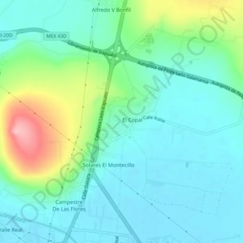
Ex-Hacienda del Copal topographic map
Interactive map
Click on the map to display elevation.
About this map
Name: Ex-Hacienda del Copal topographic map, elevation, terrain.
Location: Ex-Hacienda del Copal, Irapuato, Guanajuato, 36821, México (20.72001 -101.35727 20.76001 -101.31727)
Average elevation: 1,766 m
Minimum elevation: 1,726 m
Maximum elevation: 1,890 m