
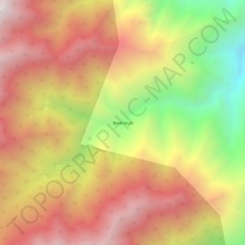
Beveridge topographic map
Interactive map
Click on the map to display elevation.
About this map
Name: Beveridge topographic map, elevation, terrain.
Location: Beveridge, Inyo County, California, United States (36.68438 -117.93508 36.72438 -117.89508)
Average elevation: 2,073 m
Minimum elevation: 1,138 m
Maximum elevation: 2,782 m
Other topographic maps
Click on a map to view its topography, its elevation and its terrain.
Mount Perry
United States > California > Inyo County
Mount Perry, Inyo County, California, United States
Average elevation: 1,321 m
Mount Whitney
United States > California > Inyo County
Mount Whitney, Inyo County, CAL Fire Southern Region, California, United States
Average elevation: 3,903 m