
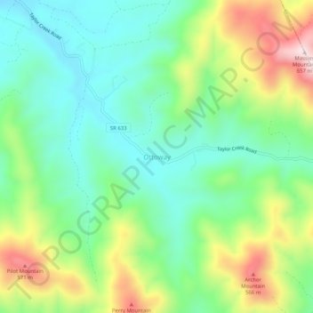
Ottoway topographic map
Interactive map
Click on the map to display elevation.
About this map
Name: Ottoway topographic map, elevation, terrain.
Location: Ottoway, Nelson County, Virginia, USA (37.89320 -78.81169 37.93320 -78.77169)
Average elevation: 341 m
Minimum elevation: 187 m
Maximum elevation: 643 m