
Cedar Grove topographic map
Interactive map
Click on the map to display elevation.
About this map
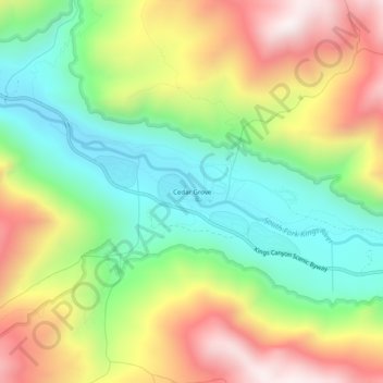
Name: Cedar Grove topographic map, elevation, terrain.
Location: Cedar Grove, Fresno County, California, United States (36.77077 -118.69038 36.81077 -118.65038)
Average elevation: 1,761 m
Minimum elevation: 1,379 m
Maximum elevation: 2,277 m