
Hamelin Island topographic map
Interactive map
Click on the map to display elevation.
About this map
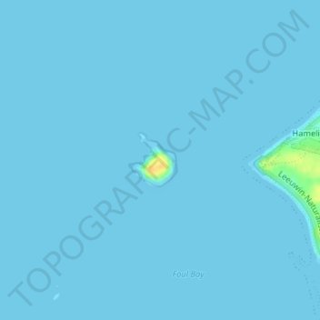
Name: Hamelin Island topographic map, elevation, terrain.
Location: Hamelin Island, Hamelin Bay, Western Australia, Australia (-34.22481 115.01256 -34.22032 115.01686)
Average elevation: 1 m
Minimum elevation: 0 m
Maximum elevation: 26 m