
Tintaldra topographic map
Interactive map
Click on the map to display elevation.
About this map
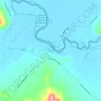
Name: Tintaldra topographic map, elevation, terrain.
Location: Tintaldra, Shire of Towong, Victoria, 3708, Australia (-36.06720 147.91076 -36.02720 147.95076)
Average elevation: 248 m
Minimum elevation: 228 m
Maximum elevation: 422 m
Other topographic maps
Click on a map to view its topography, its elevation and its terrain.