
Minerva Hills National Park topographic map
Interactive map
Click on the map to display elevation.
About this map
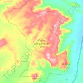
Name: Minerva Hills National Park topographic map, elevation, terrain.
Average elevation: 443 m
Minimum elevation: 287 m
Maximum elevation: 623 m
Other topographic maps
Click on a map to view its topography, its elevation and its terrain.
Springsure
Australia > Queensland > Springsure
Springsure, Queensland, Australia
Average elevation: 399 m