
Kalang topographic map
Interactive map
Click on the map to display elevation.
About this map
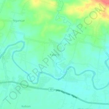
Name: Kalang topographic map, elevation, terrain.
Location: Kalang, East Java, Indonesia (-7.40496 111.36937 -7.36496 111.40937)
Average elevation: 55 m
Minimum elevation: 38 m
Maximum elevation: 100 m