
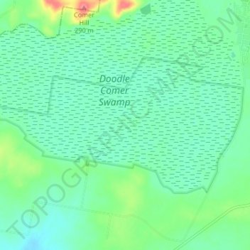
Doodle Comer Swamp Nature Reserve topographic map
Interactive map
Click on the map to display elevation.
About this map
Name: Doodle Comer Swamp Nature Reserve topographic map, elevation, terrain.
Average elevation: 233 m
Minimum elevation: 214 m
Maximum elevation: 291 m
Other topographic maps
Click on a map to view its topography, its elevation and its terrain.
Henty
Australia > New South Wales > Henty
Henty, Greater Hume Shire Council, New South Wales, Australia
Average elevation: 237 m