
Seaford Beach topographic map
Interactive map
Click on the map to display elevation.
About this map
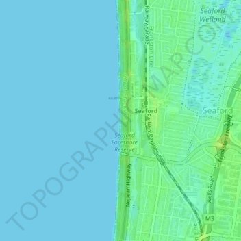
Name: Seaford Beach topographic map, elevation, terrain.
Average elevation: 3 m
Minimum elevation: -2 m
Maximum elevation: 12 m
Victoria trails, hiking, mountain biking, running and outdoor activities
Other topographic maps
Click on a map to view its topography, its elevation and its terrain.
Frankston
Australia > Victoria > Frankston
Olivers Hill is the most prominent elevation in Frankston which rises to 55 metres above sea level (180 feet) at its highest point in the suburb. Its origins date to approximately 415 to 360 million years ago. Its base is Mount Eliza Granite dating from the Devonian period, which was covered in lava tuffs in…
Average elevation: 36 m