
Terni topographic map
Interactive map
Click on the map to display elevation.
About this map
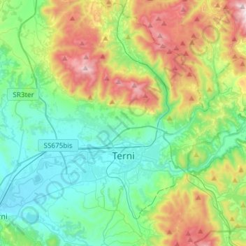
Name: Terni topographic map, elevation, terrain.
Location: Terni, Umbria, 05100, Italy (42.50079 12.54215 42.67578 12.78719)
Average elevation: 411 m
Minimum elevation: 91 m
Maximum elevation: 1,178 m