
West Point topographic map
Interactive map
Click on the map to display elevation.
About this map
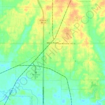
Name: West Point topographic map, elevation, terrain.
Location: West Point, Clay County, Mississippi, 39773, United States (33.56331 -88.70747 33.63655 -88.60721)
Average elevation: 67 m
Minimum elevation: 51 m
Maximum elevation: 87 m