
Basalt topographic map
Interactive map
Click on the map to display elevation.
About this map
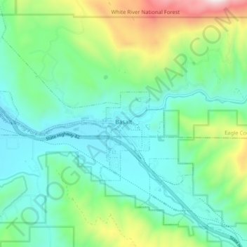
Name: Basalt topographic map, elevation, terrain.
Location: Basalt, Eagle County, Colorado, United States (39.34426 -107.08970 39.39333 -107.01117)
Average elevation: 2,245 m
Minimum elevation: 1,986 m
Maximum elevation: 3,036 m