
Gormanston topographic map
Interactive map
Click on the map to display elevation.
About this map
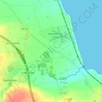
Name: Gormanston topographic map, elevation, terrain.
Average elevation: 18 m
Minimum elevation: 0 m
Maximum elevation: 59 m
Other topographic maps
Click on a map to view its topography, its elevation and its terrain.
Ashbourne
Ireland > County Meath > Ashbourne
Ashbourne, The Municipal District of Ashbourne, County Meath, Leinster, A84 WK40, Ireland
Average elevation: 78 m