
Mont Mort topographic map
Interactive map
Click on the map to display elevation.
About this map
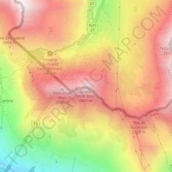
Name: Mont Mort topographic map, elevation, terrain.
Average elevation: 2,455 m
Minimum elevation: 1,833 m
Maximum elevation: 2,878 m
Other topographic maps
Click on a map to view its topography, its elevation and its terrain.
Glacier de Corbassière
Switzerland > Valais/Wallis > Bourg-Saint-Pierre
Glacier de Corbassière, Spalla Isler, Bourg-Saint-Pierre, Entremont, Valais/Wallis, 1946, Switzerland
Average elevation: 2,940 m