
Stolberg topographic map
Interactive map
Click on the map to display elevation.
About this map
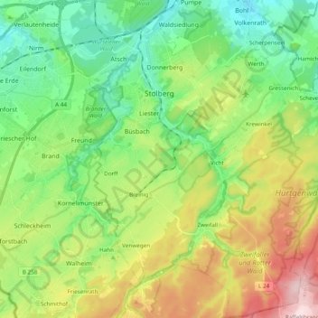
Name: Stolberg topographic map, elevation, terrain.
Location: Stolberg, Städteregion Aachen, North Rhine-Westphalia, Germany (50.68470 6.17453 50.80567 6.36561)
Average elevation: 266 m
Minimum elevation: 143 m
Maximum elevation: 502 m