
Albany topographic map
Interactive map
Click on the map to display elevation.
About this map
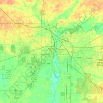
Name: Albany topographic map, elevation, terrain.
Location: Albany, Dougherty County, Georgia, United States of America (31.52235 -84.27322 31.62349 -84.05864)
Average elevation: 65 m
Minimum elevation: 46 m
Maximum elevation: 87 m