
Bridgeton topographic map
Interactive map
Click on the map to display elevation.
About this map
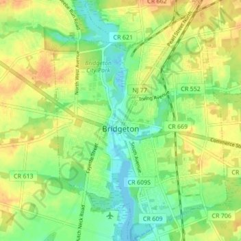
Name: Bridgeton topographic map, elevation, terrain.
Location: Bridgeton, Cumberland County, New Jersey, 08302, USA (39.40276 -75.25303 39.45530 -75.20384)
Average elevation: 18 m
Minimum elevation: -3 m
Maximum elevation: 35 m