
Sable Island National Park Reserve. topographic map
Interactive map
Click on the map to display elevation.
About this map
Name: Sable Island National Park Reserve. topographic map, elevation, terrain.
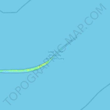
Average elevation: 0 m
Minimum elevation: -5 m
Maximum elevation: 21 m
Other topographic maps
Click on a map to view its topography, its elevation and its terrain.
Sable Island
Canada > Nova Scotia > Sable Island
Sable Island, Halifax Regional Municipality, Nova Scotia, Canada
Average elevation: 0 m