
Clark Island topographic map
Interactive map
Click on the map to display elevation.
About this map
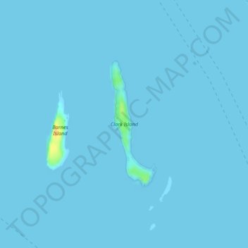
Name: Clark Island topographic map, elevation, terrain.
Location: Clark Island, San Juan County, Washington, United States (48.69415 -122.76663 48.70789 -122.75930)
Average elevation: 0 m
Minimum elevation: 0 m
Maximum elevation: 30 m
Other topographic maps
Click on a map to view its topography, its elevation and its terrain.
Skull Rock
United States > Washington > San Juan County
Skull Rock, San Juan County, Washington, 98243, United States
Average elevation: 21 m
Jones Island
United States > Washington > San Juan County
Jones Island, San Juan County, Washington, United States
Average elevation: 6 m
Orcas Island
United States > Washington > San Juan County > Eastsound
Orcas Island, Eastsound, San Juan County, Washington, United States
Average elevation: 59 m