
Barton topographic map
Interactive map
Click on the map to display elevation.
About this map
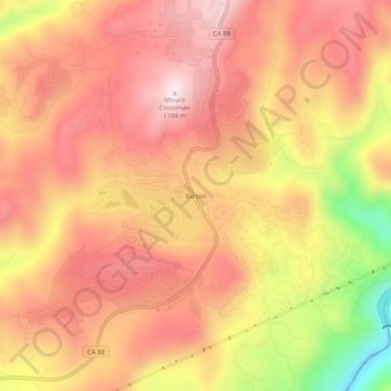
Name: Barton topographic map, elevation, terrain.
Location: Barton, Amador County, California, United States (38.43463 -120.55020 38.47463 -120.51020)
Average elevation: 1,003 m
Minimum elevation: 683 m
Maximum elevation: 1,173 m
Other topographic maps
Click on a map to view its topography, its elevation and its terrain.
Volcano
United States > California > Amador County
Volcano, Amador County, California, 95689, United States
Average elevation: 726 m