
Hydra Island topographic map
Interactive map
Click on the map to display elevation.
About this map
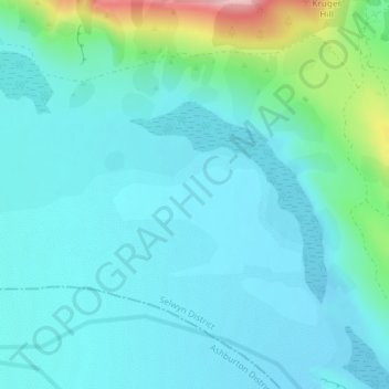
Name: Hydra Island topographic map, elevation, terrain.
Location: Hydra Island, Selwyn District, Canterbury, New Zealand (-43.27856 171.34181 -43.25856 171.36181)
Average elevation: 474 m
Minimum elevation: 441 m
Maximum elevation: 633 m
Other topographic maps
Click on a map to view its topography, its elevation and its terrain.
Puketeraki
New Zealand > Canterbury > Selwyn District
Puketeraki, Selwyn District, Canterbury, New Zealand
Average elevation: 1,369 m
Selwyn
New Zealand > Canterbury > Selwyn District
Selwyn, Selwyn District, Canterbury, 7682, New Zealand
Average elevation: 70 m
Greendale
New Zealand > Canterbury > Selwyn District
Greendale, Selwyn District, Canterbury, 7671, New Zealand
Average elevation: 132 m
Rolleston
New Zealand > Canterbury > Selwyn District
Rolleston, Selwyn District, Canterbury, 7643, New Zealand
Average elevation: 54 m
Lincoln
New Zealand > Canterbury > Selwyn District
Lincoln, Selwyn District, Canterbury, 7608, New Zealand
Average elevation: 15 m
Darfield
New Zealand > Canterbury > Selwyn District
Darfield, Selwyn District, Canterbury, 7510, New Zealand
Average elevation: 202 m
Arthur's Pass
New Zealand > Canterbury > Selwyn District
Arthur's Pass, Selwyn District, Canterbury, 7875, New Zealand
Average elevation: 1,204 m
Mount Cotton
New Zealand > Canterbury > Selwyn District
Mount Cotton, Selwyn District, Canterbury, New Zealand
Average elevation: 1,031 m