
Malaney Creek topographic map
Interactive map
Click on the map to display elevation.
About this map
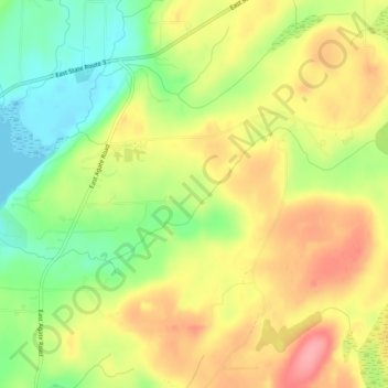
Name: Malaney Creek topographic map, elevation, terrain.
Location: Malaney Creek, Mason County, Washington, United States (47.24884 -123.01970 47.26025 -122.97088)
Average elevation: 51 m
Minimum elevation: -1 m
Maximum elevation: 100 m