
Wallace topographic map
Interactive map
Click on the map to display elevation.
About this map
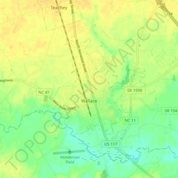
Name: Wallace topographic map, elevation, terrain.
Location: Wallace, Duplin County, North Carolina, United States (34.72202 -78.04662 34.75750 -77.97136)
Average elevation: 16 m
Minimum elevation: 2 m
Maximum elevation: 27 m