
盘龙城经济开发区 topographic map
Interactive map
Click on the map to display elevation.
About this map
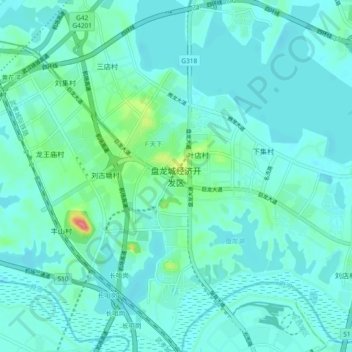
Name: 盘龙城经济开发区 topographic map, elevation, terrain.
Location: 盘龙城经济开发区, 武汉市, 湖北省, 430040, 中国 (30.67417 114.21100 30.75417 114.29100)
Average elevation: 25 m
Minimum elevation: 13 m
Maximum elevation: 92 m
Other topographic maps
Click on a map to view its topography, its elevation and its terrain.