
Montelima topographic map
Interactive map
Click on the map to display elevation.
About this map
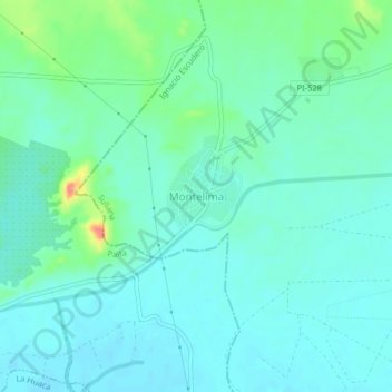
Name: Montelima topographic map, elevation, terrain.
Location: Montelima, Ignacio Escudero, Sullana, Piura, Pérou (-4.88347 -80.96130 -4.84347 -80.92130)
Average elevation: 30 m
Minimum elevation: 15 m
Maximum elevation: 84 m