
Skull Rock topographic map
Interactive map
Click on the map to display elevation.
About this map
Name: Skull Rock topographic map, elevation, terrain.
Average elevation: 21 m
Minimum elevation: -3 m
Maximum elevation: 718 m
Other topographic maps
Click on a map to view its topography, its elevation and its terrain.
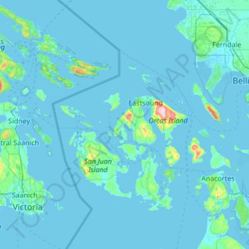
Orcas Island
United States > Washington > San Juan County > Eastsound
Mount Constitution (elevation 2409 feet/734 meters) is the highest point in the San Juan islands. The mountain is part of Moran State Park, the largest public recreation area in the San Juan Islands, and the largest State Park in Washington. Moran State Park encompasses over 5,000 acres (2,000 ha) of woodland…
Average elevation: 59 m