
Nevils topographic map
Click on the map to display elevation.
About this map
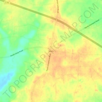
Name: Nevils topographic map, elevation, terrain.
Location: Nevils, Bulloch County, Georgia, United States (32.24380 -81.78095 32.28380 -81.74095)
Average elevation: 51 m
Minimum elevation: 29 m
Maximum elevation: 63 m