
North Hungary topographic map
Interactive map
Click on the map to display elevation.
About this map
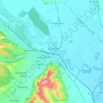
Name: North Hungary topographic map, elevation, terrain.
Location: North Hungary, Great Plain and North, 3770, Hungary (48.18309 20.66910 48.26228 20.76743)
Average elevation: 146 m
Minimum elevation: 119 m
Maximum elevation: 313 m
Other topographic maps
Click on a map to view its topography, its elevation and its terrain.