
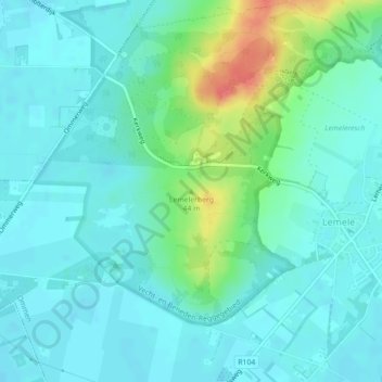
Lemelerberg topographic map
Interactive map
Click on the map to display elevation.
About this map
Name: Lemelerberg topographic map, elevation, terrain.
Location: Lemelerberg, Ommen, Overijssel, Pays-Bas, 8148RC, Pays-Bas (52.45564 6.39661 52.45574 6.39671)
Average elevation: 17 m
Minimum elevation: 4 m
Maximum elevation: 61 m