
Waha topographic map
Interactive map
Click on the map to display elevation.
About this map
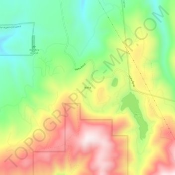
Name: Waha topographic map, elevation, terrain.
Location: Waha, Nez Perce County, Idaho, VS (46.19322 -116.87209 46.23322 -116.83209)
Average elevation: 1,058 m
Minimum elevation: 780 m
Maximum elevation: 1,381 m