
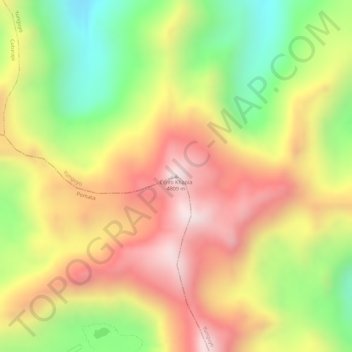
Cerro Khapía topographic map
Interactive map
Click on the map to display elevation.
About this map
Name: Cerro Khapía topographic map, elevation, terrain.
Location: Cerro Khapía, Yunguyo, Puno, Perú (-16.33094 -69.14218 -16.33084 -69.14208)
Average elevation: 4,538 m
Minimum elevation: 4,224 m
Maximum elevation: 4,794 m
Other topographic maps
Click on a map to view its topography, its elevation and its terrain.