
Luya topographic map
Interactive map
Click on the map to display elevation.
About this map
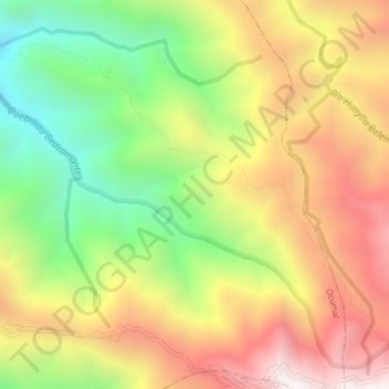
Name: Luya topographic map, elevation, terrain.
Location: Luya, Ocumal, Luya, Amazonas, Pérou (-6.37696 -78.07768 -6.33696 -78.03768)
Average elevation: 2,836 m
Minimum elevation: 2,163 m
Maximum elevation: 3,520 m