
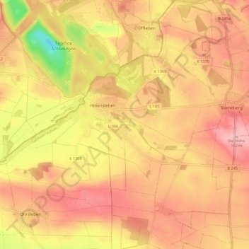
Hötensleben topographic map
Interactive map
Click on the map to display elevation.
About this map
Name: Hötensleben topographic map, elevation, terrain.
Average elevation: 109 m
Minimum elevation: 12 m
Maximum elevation: 163 m
Hötensleben liegt ca. 12 km südlich von Helmstedt und 5 km östlich des Höhenzugs Elm und damit am Rand des Naturparks Elm-Lappwald.