
Ahmadi topographic map
Interactive map
Click on the map to display elevation.
About this map
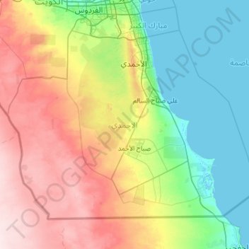
Name: Ahmadi topographic map, elevation, terrain.
Location: Ahmadi, Kuwait (28.52436 47.53925 29.20870 48.56721)
Average elevation: 82 m
Minimum elevation: -4 m
Maximum elevation: 246 m