
Montegrande topographic map
Interactive map
Click on the map to display elevation.
About this map
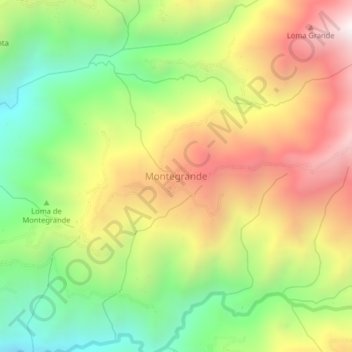
Name: Montegrande topographic map, elevation, terrain.
Location: Montegrande, Sopetrán, Occidente, Antioquia, Colombia (6.51639 -75.72180 6.55639 -75.68180)
Average elevation: 1,689 m
Minimum elevation: 1,079 m
Maximum elevation: 2,390 m