
Engi topographic map
Interactive map
Click on the map to display elevation.
About this map
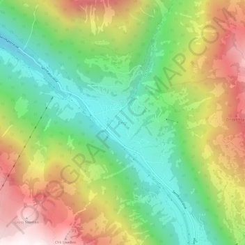
Name: Engi topographic map, elevation, terrain.
Location: Engi, Glarus, 8765, Zwitserland (46.96276 9.13234 47.00276 9.17234)
Average elevation: 1,275 m
Minimum elevation: 677 m
Maximum elevation: 2,113 m