
Thank you for supporting this site ❤️
Make a donation
Make a donation
Gear up for your next adventure:
As an Amazon Associate, this site earns from qualifying purchases at no extra cost to you.
Nadigaon topographic map
Click on the map to display elevation.
Thank you for supporting this site ❤️
Make a donation
Make a donation
Gear up for your next adventure:
As an Amazon Associate, this site earns from qualifying purchases at no extra cost to you.
About this map
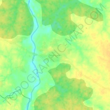
Name: Nadigaon topographic map, elevation, terrain.
Location: Nadigaon, Konch, Jalaun, Uttar Pradesh, 285206, India (26.08580 79.00276 26.12580 79.04276)
Average elevation: 146 m
Minimum elevation: 130 m
Maximum elevation: 157 m
Thank you for supporting this site ❤️
Make a donation
Make a donation
Gear up for your next adventure:
As an Amazon Associate, this site earns from qualifying purchases at no extra cost to you.