Geolocate

Nauzon topographic map

Click on the map to display elevation.

About this map
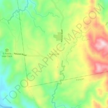
Name: Nauzon topographic map, elevation, terrain.

Location: Nauzon, Laur, Nueva Ecija, Central Luzon, 3130, Philippines (15.44573 121.12354 15.48573 121.16354)

Average elevation: 262 m

Minimum elevation: 107 m

Maximum elevation: 463 m

Gear up for your next adventure:

🧦Merino Wool Hiking Socks - Moisture-wicking socks to prevent blisters during long topographic surveys
🎒Daypacks - Compact backpacks for short hikes
🛌Sleeping Bags - Sleeping bags for outdoor camping
🛌Compact Down Sleeping Bags - Warmth without the bulk, ideal for backcountry camping
🔋Solar Power Banks - Charge your phone and GPS using the sun while deep in the bush

As an Amazon Associate, this site earns from qualifying purchases at no extra cost to you.