Geolocate

Vlaardingen topographic map

Click on the map to display elevation.

About this map

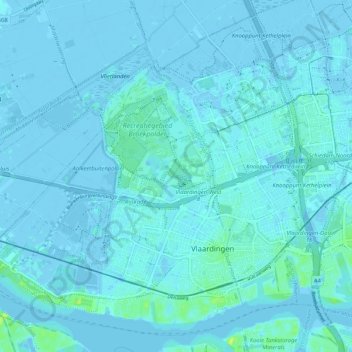
Name: Vlaardingen topographic map, elevation, terrain.

Location: Vlaardingen, South Holland, Netherlands (51.89404 4.26757 51.95151 4.37062)

Average elevation: 1 m

Minimum elevation: -9 m

Maximum elevation: 15 m

Gear up for your next adventure:

🚁Camera Drones with GPS - Capture aerial views of the landscape to compare with topo maps
🌧️Rain Jackets - Waterproof jackets for hiking
🌬️Windbreaker Jackets - Wind protection jackets
🥾Hiking Gaiters - Leg protection for trails
📻Handheld UHF Radios - Critical communication for groups in the Australian outback

As an Amazon Associate, this site earns from qualifying purchases at no extra cost to you.