
Merișor topographic map
Interactive map
Click on the map to display elevation.
About this map
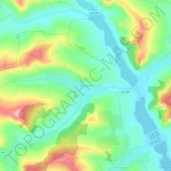
Name: Merișor topographic map, elevation, terrain.
Location: Merișor, Glodeni, Mureș, 547276, Romania (46.67921 24.52978 46.71921 24.56978)
Average elevation: 401 m
Minimum elevation: 345 m
Maximum elevation: 512 m