
Gowan topographic map
Interactive map
Click on the map to display elevation.
About this map
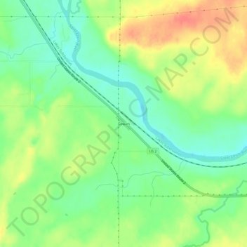
Name: Gowan topographic map, elevation, terrain.
Location: Gowan, Saint Louis County, Minnesota, United States (46.84411 -92.86715 46.88411 -92.82715)
Average elevation: 393 m
Minimum elevation: 368 m
Maximum elevation: 424 m