
Joubiéval topographic map
Interactive map
Click on the map to display elevation.
About this map
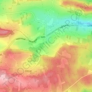
Name: Joubiéval topographic map, elevation, terrain.
Average elevation: 496 m
Minimum elevation: 405 m
Maximum elevation: 577 m
Other topographic maps
Click on a map to view its topography, its elevation and its terrain.
Baraque de Fraiture
België > Luxemburg > Bastenaken > Bihain
Baraque de Fraiture, Bihain, Vielsalm, Bastenaken, Luxemburg, Wallonië, 6661, België
Average elevation: 596 m