
Gangani - The Grand Canyon Of Bengal topographic map
Interactive map
Click on the map to display elevation.
About this map
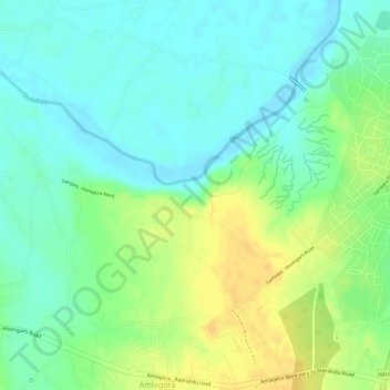
Name: Gangani - The Grand Canyon Of Bengal topographic map, elevation, terrain.
Average elevation: 46 m
Minimum elevation: 32 m
Maximum elevation: 63 m